About us
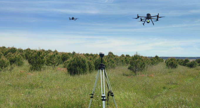
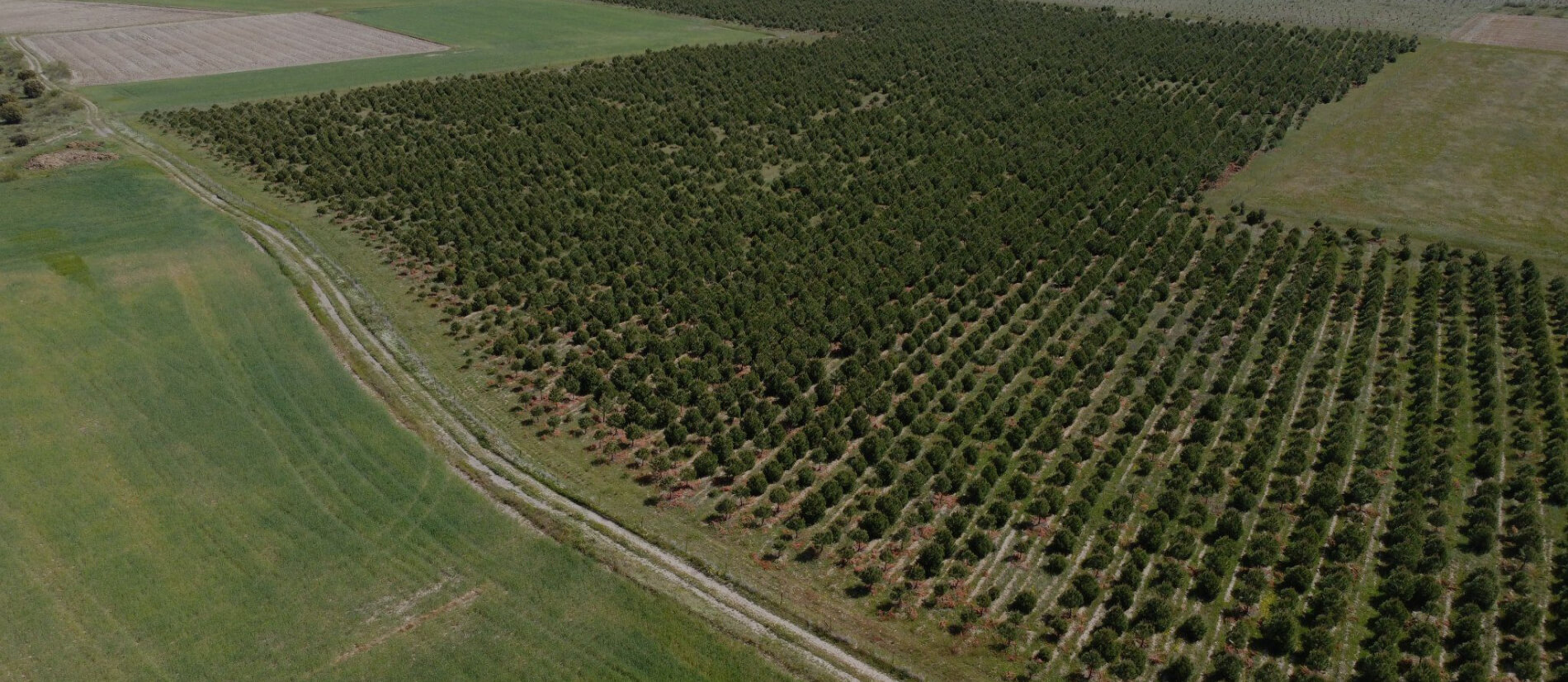
Mapsens® Carbon is the perfect tech partner for the development, validation and monitoring of CO2 capture projects. We combine the use of drones, AI, self-developed apps and the best professional team to give a comprehensive, efficient service. Mapsens® belongs to the TYC GIS Group, a leading multinational company in the geomatics sector and in the use of drones in the agricultural and forestry sectors.
Contact now!