
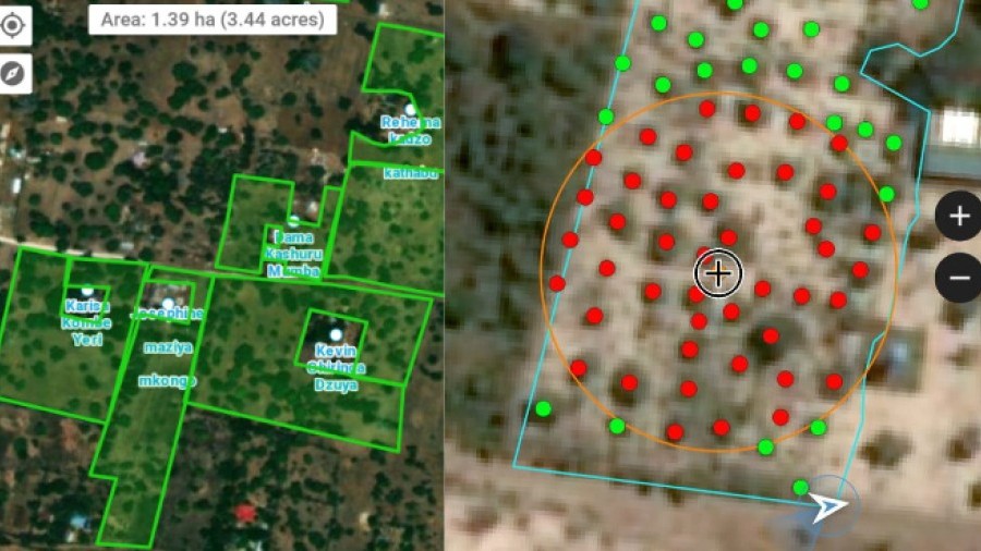
Project surface mapping
We provide all the necessary tools for the project surface digitisation whether, due to the characteristics of the project, field work is necessary or desk-based work is sufficient. Mapping may consist of anything from only the geographical delimitation of the project surface to the inclusion of all types of information that the customer may consider important to include.
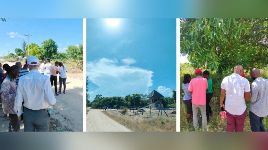
Own app for field digitisation
At TYC GIS we have developed a mobile app with all the necessary tools to perform the project digitisation through field work. This app allows multiple users to work simultaneously, capturing data, connected to the spatial database related to the project. The app is continuously updated, so new functionalities can be added, according to the customer needs.
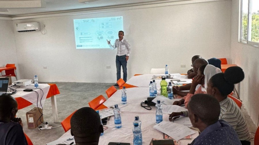
Digitiser training
At TYC GIS we have more than 10 years of experience on training on both GIS and remote sensing courses. We offer the training service for the field digitisers who will perform the project surface mapping, in case the characteristics of the project require it.
Real-time monitoring of digitisation
We carry out all kinds of statistics and graphics to show the progress of the project surface mapping process, at the request of the customer. From the number and surface area of the digitised plots (in case the project area is spread over multiple locations), to the extraction of detailed information regarding date ranges, digitisers, geographical locations or any other attribute that the customer may consider relevant to evaluate the progress of the digitising process.
Mapping Review
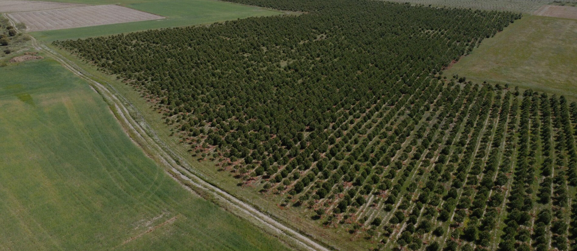
In case the project surface digitisation was performed by a third party, or if it is specifically asked by the customer, at TYC GIS we offer the service of a detailed and in depth review of the digitisation. This work can consist of both the geometry check of the project surface and the inclusion, modification, or compilation of possible additional information associated with them. To carry out this review, multiple sources of information can be used, including the use of remote sensing products such as satellite and drone images. In this case, at TYC GIS we have the means to generate that source of information thanks to our fleet of drones equipped with RGB, multispectral and LiDAR sensors.